
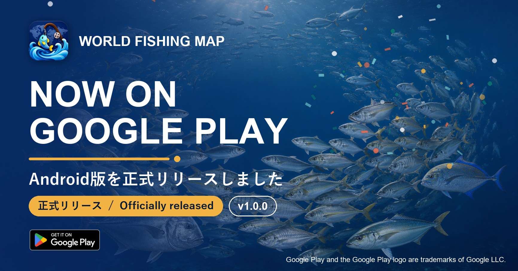
釣果記録アプリ「世界釣りマップ」は、Googleの審査を経て、2026年9月2日にAndroid版 正式版 Version 1.0.0 を Google Play で公開しました。2026年6月の開発開始から約3か月、クローズドテスト・オープンテストにご参加いただき、貴重なご意見をお寄せくださった皆さまに、心より御礼申し上げます。
提供地域が15か国・地域から177か国・地域へ
オープンテストは日本を含む15か国・地域で実施していましたが、正式版はGoogle Playの177か国・地域でご利用いただけます。アプリは日本語と英語に対応しており、端末の言語設定に合わせて自動的に切り替わるほか、アプリ内で手動で切り替えることもできます。
ダウンロードと利用は無料です。会員ランク(Tier)に応じて使える機能は異なりますが、釣果の記録・AIによる魚種同定・地図・魚図鑑など、アプリの中核となる体験はどなたでもお使いいただけます。
正式版で変わること
- 利用規約・プライバシーポリシーが正式版になりました — 専門家(弁護士)によるレビューを完了した利用規約とプライバシーポリシーに更新しました。次回起動時に内容をご確認のうえ、再度ご同意をお願いします。文書名は「利用規定」から「利用規約」に変わりました。
- 海底地形マップの改善 — 拡大時に等深線(海しる)へ1タップで切り替えられるようになりました。
- そのほか安定性の改善。
Version 1.0.0 でできること
オープンテスト期間中にいただいたフィードバックをもとに、機能の追加と改善を重ねてきました。正式版には、たとえば次の機能が含まれています。
- 撮影 → AI魚種同定 → 記録 → 世界地図。写真から魚種の候補を示し、確認した釣果を潮・天候・場所とともに記録します。
- 釣り場をネタバレさせない位置のぼかし表示と、記録ごとに選べる公開範囲。
- 魚図鑑(約2,941種)。魚類・甲殻類・貝・イカ・タコ・クラゲの仲間を、分類・分布・イラストつきで収載。
- 釣り日和・潮汐・潮流・天候・海況の表示と、釣果の傾向分析。
- 出船モード(船釣り向けの計器・航跡・釣行ログ・参考水深)と海のマップ・海底地形マップ。
- 実績バッジ・Fish Token・Angler's Point、いいね・コメント・フォロー・ダイレクトメッセージなどのSNS機能。
各機能の使い方は、公式サイトの使い方ガイド(日英併記・全12セクション)でご覧いただけます。
※ AIによる魚種同定は候補を示すものであり、正しさを保証するものではありません。安全のため、必ず実物もご確認ください。
オープンテストにご参加いただいていた方へ
特別な操作は必要ありません。Google Play からアプリを更新すると、そのまま正式版としてお使いいただけます。これまでの釣果・Fish Token・Angler's Point・実績バッジ・設定は引き継がれますので、改めて登録し直す必要はありません。
テストにご協力いただいた皆さまへの感謝としてオープンテストのお知らせでご案内したPromoコードは、同記事に記載の条件のとおり引き続きご利用いただけます。
iOS 版について
iOS 版は現在 App Store の審査中です。公開され次第、あらためてお知らせします。それまでは TestFlight でのテスト配信を継続します。
【2026年9月22日 追記】iOS版は 2026年9月22日に App Store で正式版 Version 1.0 を公開しました。詳しくは両ストア正式リリースのお知らせをご覧ください。
これからも「信頼できる記録」を
世界釣りマップは、写真からのAI魚種同定・記録前の不正検知・改ざんに強い台帳という仕組みで、釣果の記録そのものに価値があるアプリを目指しています。位置は既定でぼかし表示にし、他の釣り人の正確な釣り座は販売しないという方針も変わりません。正式リリースはゴールではなく、スタートです。皆さまの釣果が世界の地図になっていくよう、これからも機能の充実と改善を続けてまいります。不具合やご要望がありましたら、アプリ内の「困ったときは」またはお問い合わせ窓口からお気軽にお知らせください。
※ 世界釣りマップは、モバイルアプリの国際ハッカソン「RevenueCat Shipaton 2026」に参加しました(2026年10月に審査終了)。最新情報は X(@WorldFishingMap)でお知らせしています。
Following Google's review, World Fishing Map version 1.0.0 for Android was officially released on Google Play on 2 September 2026. About three months after development began in June 2026, we have reached this milestone thanks to everyone who joined the closed and open tests and shared feedback along the way. Thank you from the bottom of our hearts.
From 15 to 177 countries and regions
The open test ran in 15 countries and regions, including Japan. The official release is available in 177 countries and regions on Google Play. The app supports Japanese and English, follows your device language automatically, and lets you switch languages manually inside the app.
The app is free to download and use. The features available depend on your membership tier, but the core experience — logging catches, AI species identification, the map, and the Fish Encyclopedia — is open to everyone.
What changes in the official release
- The Terms of Use and Privacy Policy are now the official versions, reviewed by a lawyer. On your next launch you will be asked to review and re-consent to the updated Terms of Use and Privacy Policy.
- Seafloor map improvements — switch to depth contours with one tap when zoomed in.
- Stability improvements.
What version 1.0.0 includes
Throughout the open test we kept adding and refining features based on your feedback. The official release includes, for example:
- Shoot → AI species ID → record → world map. AI suggests species from your photo, and your confirmed catch is saved with tide, weather, and place.
- Blurred-by-default locations that keep your fishing spots private, with a visibility setting for every record.
- Fish Encyclopedia (about 2,941 species) covering fish, crustaceans, shellfish, squid, octopus, and jellyfish, with taxonomy, distribution, and illustrations.
- Fishing conditions, tides, tidal currents, weather, and marine conditions, plus analytics of your catch patterns.
- Boat Mode (instruments, track, trip log, and reference depth for boat anglers), the Sea Chart, and the Seafloor Map.
- Achievement badges, Fish Token, and Angler's Point, and social features such as likes, comments, follows, and direct messages.
The User Guide on this site explains every feature in twelve sections, in Japanese and English.
Note: AI species identification suggests candidates and does not guarantee accuracy. For your safety, always verify the real fish.
If you were in the open test
Nothing special is required. Update the app from Google Play and you are on the official release. Your catches, Fish Token, Angler's Points, badges, and settings carry over — there is no need to register again.
The promo code we shared in the open-test announcement as a thank-you to testers remains valid under the conditions stated in that article.
About iOS
The iOS version is currently in App Store review. We will post again as soon as it is available; until then, TestFlight testing continues.
[Added 22 September 2026] Version 1.0 for iOS was officially released on the App Store on 22 September 2026. See the both-stores release announcement.
Records you can trust
World Fishing Map is built so that the record itself is worth something: AI species identification from a photo, fraud checks before anything is written, and a tamper-evident ledger behind it. Locations stay blurred by default, and we still will not sell other anglers' exact spots. This release is a starting line, not a finish line. We will keep improving and expanding the app so that your catches become a map of the world. If you find a bug or have a request, please let us know through the in-app help or our contact channels.
Note: World Fishing Map took part in RevenueCat Shipaton 2026, an international hackathon for mobile apps (judging concluded in October 2026). Follow X (@WorldFishingMap) for the latest news.